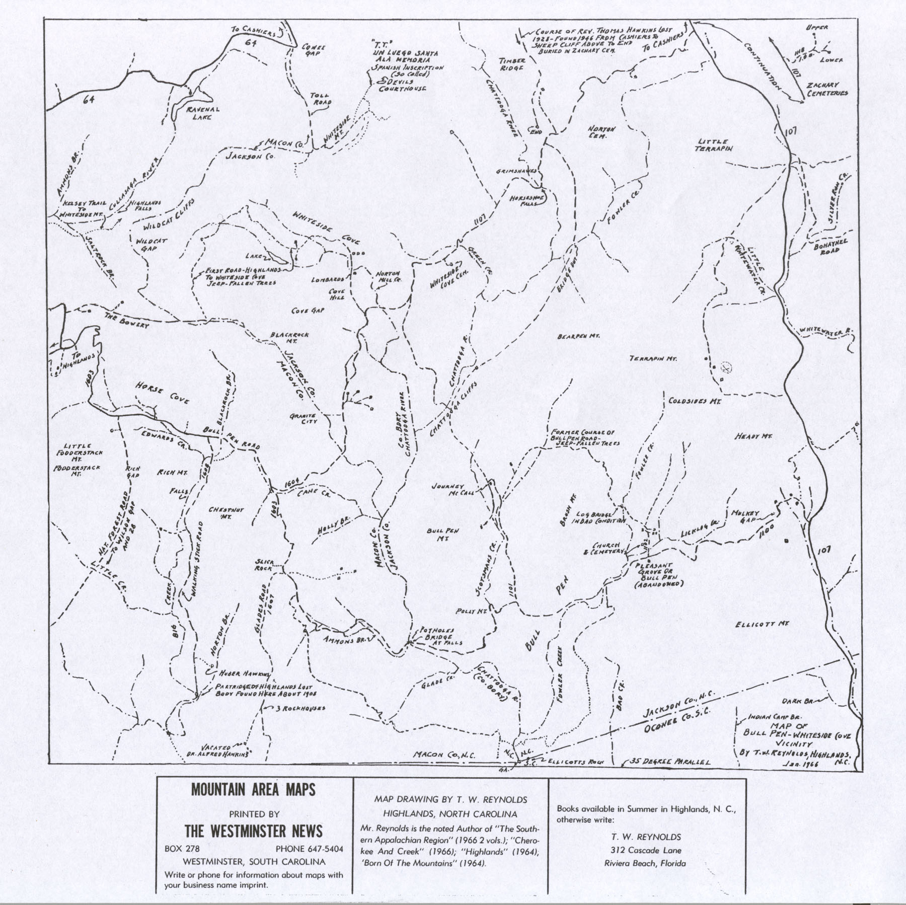
This map drawn by T. W. Reynolds covers the Horse Cove area in 1966. His "High Lands" features the Whiteside Mountain rescue, the naming of Cashiers and Horse Cove, the Hawkins family, a brief history of the founding of Highlands, the Blue Ridge Railroad and Stumphouse Mountain Tunnel, the naming of Satulah, and many more, as he laid out six detailed tours of the area within a forty-five mile radius derived from this and the previous map of the Highlands plateau.
| Collection | Map Collection |
| Date | 1966 |
| Object ID | 2005.4.25 |
| Object Name | Map |
| People | Kelsey, Samuel T. |
| Title | Road Map of Horse Cove in 1966 (Reynolds) |

