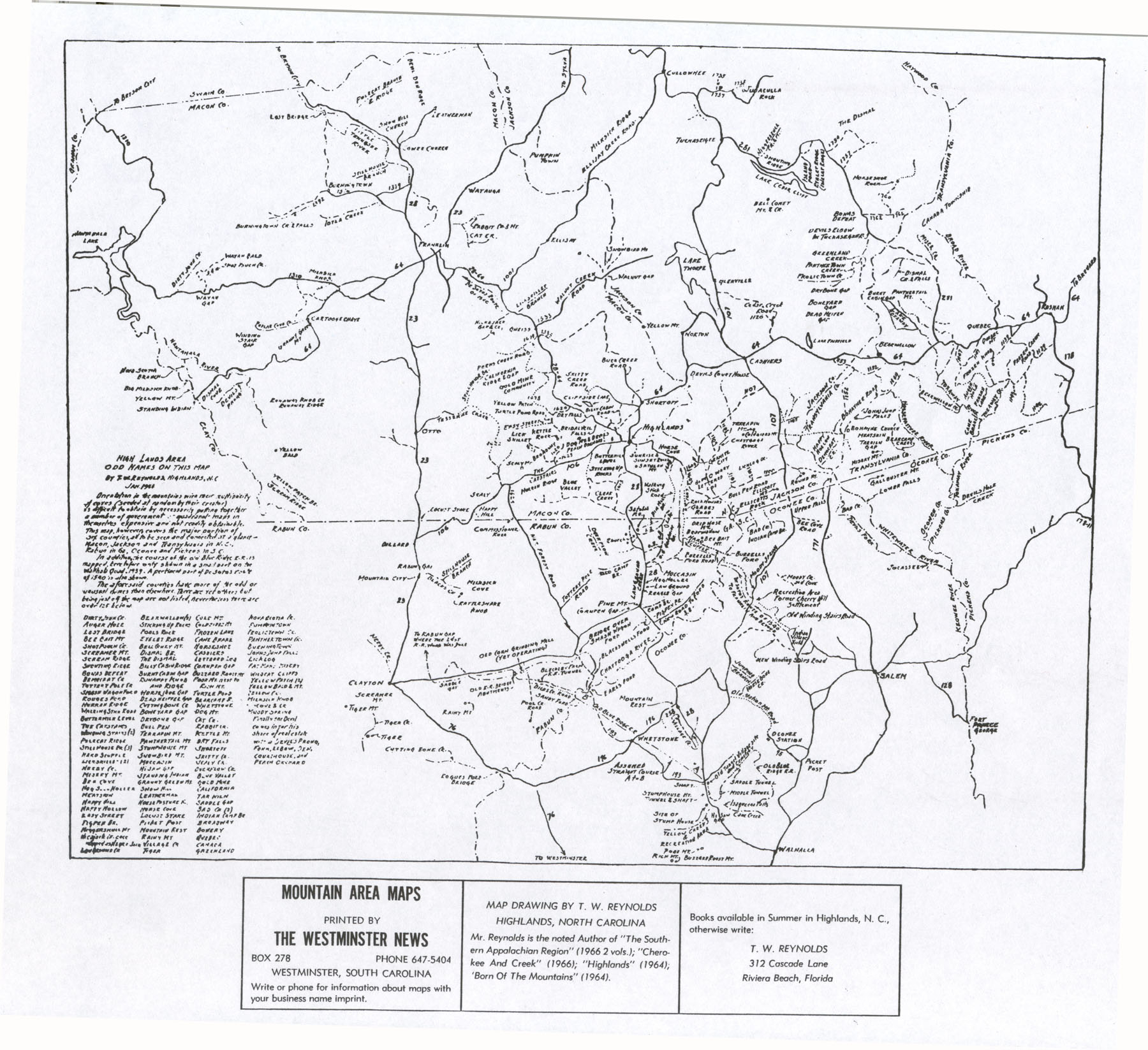
This map was drawn by T. W. Reynolds of the Highlands area in 1966. It served as the basis for his 1964 publication of "High Lands," which gave detailed descriptions of the Highlands plateau from Sylva, N.C., through Georgia to Walhalla, S.C., where the mountain slopes finally died out. At age 74, having spent 7 years interviewing and traveling "some thousands of miles back and forth and over and over again" along secondary roads that "warn't fitten to travel," Reynolds recorded his excursions on this map and the next one of the Horse Cove area. He was particularly interested in the etymology of place names, many of which are listed on the left.
| Collection | Map Collection |
| Date | 1966 |
| Object ID | 2005.4.24 |
| Object Name | Map |
| People | Kelsey, Samuel T. |
| Title | Road Map of Highlands area in 1966 (T. W. Reynolds) |

